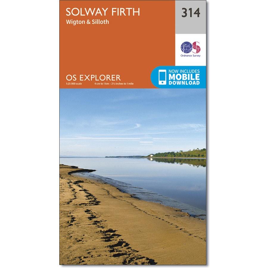
Ordnance Survey Explorer 314 Map Solway Firth
£9.99
1 in stock
Description
OS Explorer 314 shows the Solway Firth, Annan, Wigton and Silloth.
It also includes part of the National Scenic Area of Nith Estuary, and the Solway Coast Area of Outstanding Natural Beauty (AONB). There’s also the Cumbria Costal Way, Allerdale Ramble and part of Hadrian’s Wall Path.
The OS Explorer map for Solway Firth is available in both the standard paper version and weatherproof ‘Active’ version.
Additional information
| Brand | Ordnance Survey |
|---|---|
| gtin | 9780319245668 |
| Brand |
You must be logged in to post a review.


Reviews
There are no reviews yet.