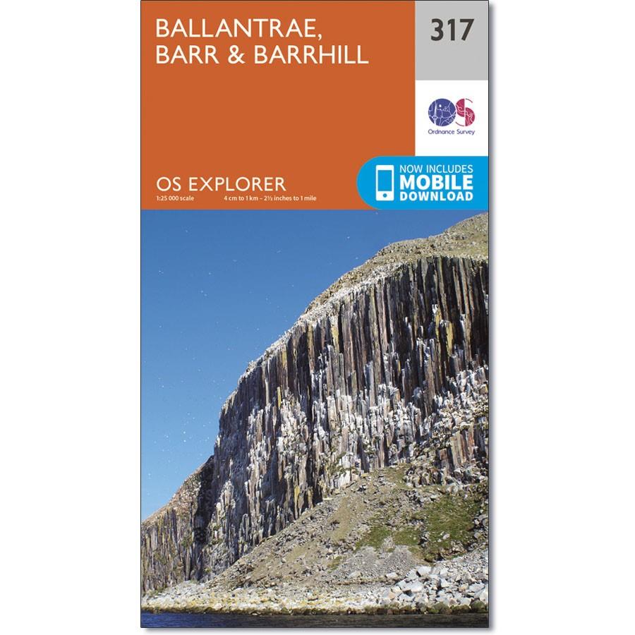
Ordnance Survey Explorer 317 Map of Ballantrae, Barr & Barrhill
£9.99
3 in stock
Description
Ordnance Survey Explorer 317 Map of Ballantrae, Barr & Barrhill
Showing Ballantrae, Barr & Barrhill, the Arecleoch Forest and part of the Galloway Forest Park, OS Explorer Map 317 is the ideal companion for any outdoor adventure.
Highlights of the area include the (uninhabited) island of Ailsa Crag, the twin peaks of Knockdolian and Knockdaw Hill, and Byne Hill, with an easy ascent and great views.
The OS Explorer map for Ballantrae, Barr & Barrhill is available in both the standard paper version and weatherproof ‘Active’ version.
Additional information
| Brand | Ordnance Survey |
|---|---|
| gtin | 9780319245699 |
| Brand |
You must be logged in to post a review.


Reviews
There are no reviews yet.