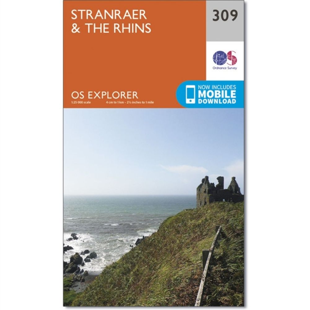
Ordnance Survey Explorer Map 309 – Stranraer&The Rhins
£8.99
2 in stock
Description
Ordnance Survey Explorer Map sheet number 309 covers Stranraer and The Rhins. Highlights include Castle Kennedy, Loch Ryan and Luce Bay. Also includes parts of the Southern Upland Way (E2 European Long Distance Path), Penwhirn Reservoir, Stoneykirk and Port Logan.
The OS Explorer map for Stranraer & The Rhins is available in both the standard paper version and weatherproof ‘Active’ version.
Additional information
| Brand | Ordnance Survey |
|---|---|
| gtin | 9780319245613 |
| Brand |
You must be logged in to post a review.


Reviews
There are no reviews yet.