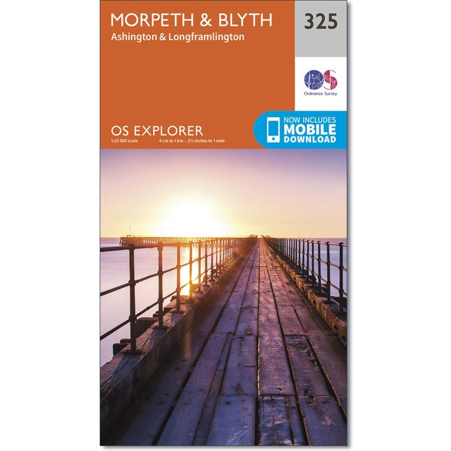
Ordnance Survey Explorer Map 325 Morpeth & Blyth
£9.99
1 in stock
Description
Ordnance Survey Explorer Map 325 Morpeth & Blyth
Ashington & Longframlington
North of Newcastle, the area surrounding Morpeth is covered by OS Explorer map 325.
The North Sea Trail and St Oswald’s Way Recreational Paths are both covered in part by this map.
With this map, you will receive a code for use on your iOS or Android smartphone or tablet.
Additional information
| gtin | 9780319245774 |
|---|---|
| Brand |
You must be logged in to post a review.



Reviews
There are no reviews yet.