


Ordnance Survey Explorer Map 366 Stirling & Ochil Hills West
£9.99
Sale Ends in
Out of stock
Description
Ordnance Survey Explorer Map 366 Stirling & Ochil Hills West
Map sheet number 366 covers Stirling, Alloa and Ochil Hills West. Highlights include River Forth, Allan Water and Upper and Lower Glendevon Reservoirs. Also includes Dunblane, Callander and Clackmannan.
With this map you will receive a code for use on your iOS or Android smartphone or tablet.
Additional information
| gtin | 9780319246146 |
|---|---|
| Brand |
You must be logged in to post a review.
Related products
-
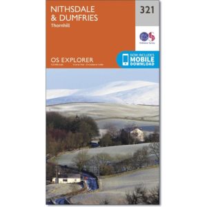
Ordnance Survey Explorer Map 321 Nithsdale and Dumfries
£9.99 Add to basket -

Ordnance Survey Explorer Map 324 Liddesdale & Kershope Forest
£9.99 Add to basket -

Ordnance Survey Explorer 315 Map Carlisle
£9.99 Add to basket -

Everest: Summit of the World by Harry Kikstra (Spiral bound, 2009)
£9.99 Add to basket
Reviews
There are no reviews yet.