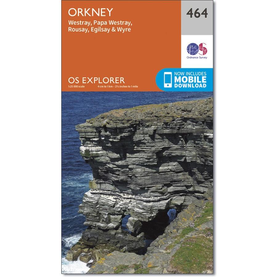
Ordnance Survey Explorer Map 464 Orkney – Westray, Papa Westray, Rousay, Egilsay & Wyre
£9.99
4 in stock
Description
Ordnance Survey Explorer Map 464 Orkney – Westray, Papa Westray, Rousay, Egilsay & Wyre
OS Explorer map 464 covers the Orkney Islands of Westray, Papa Westray, Rousay, Egilsay and Wyre, plus some smaller uninhabited islands.
Rousay is a Site of Special Scientific Interest, and has an RSPB nature reserve, due to the abundance of seabirds that nest there.
There is also evidence of settlements from Neolithic, Bronze Age, Iron Age, Viking and Medieval.
Additional information
| gtin | 9780319247150 |
|---|---|
| Brand |
You must be logged in to post a review.


Reviews
There are no reviews yet.