- You cannot add "The West Highland Way (Rucksack Readers) Guidebook" to the basket because the product is out of stock.
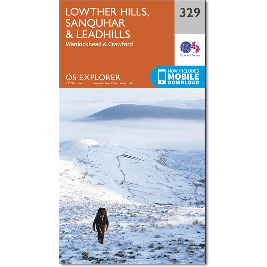
Ordnance Survey Explorer Map 329 Lowther Hills, Sanquhar & Leadhills
£9.99
1 in stock
Description
Ordnance Survey Explorer Map Lowther Hills, Sanquhar & Leadhills
Wanlockhead and Crawford
Also shown is the Southern Upland Way, part of the E2 European Long Distance Path. This area also boasts the highest village in Scotland – Wanlockhead lies mainly above 467m.
Additional information
| gtin | 9780319245811 |
|---|---|
| Brand |
You must be logged in to post a review.


Reviews
There are no reviews yet.