


Ordnance Survey Map OL 37 Cowal East
£9.99
Sale Ends in
1 in stock
Description
Ordnance Survey Map OL 37 Cowal East
Map sheet number OL 37 covers Cowal East, Dunoon and Inveraray. Highlights include Loch Lomond and The Trossachs National Park, Argyll Forest Park and Kyles of Bute. Also includes Loch Fyne, Holy Loch and West Island Way. This map replaces the previous OS Explorer map 363 for this area.
With this map you will receive a code for use on your iOS or Android smartphone or tablet.
Additional information
| gtin | 9780319242766 |
|---|---|
| Brand |
You must be logged in to post a review.
Related products
-
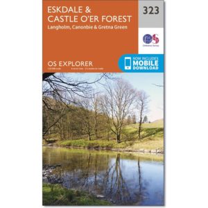
Ordnance Survey Explorer Map 323 Eskdale and Castle O’er Forest
£9.99 Add to basket -
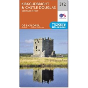
Ordnance Survey Explorer Map 312 Kirkcudbright & Castle Douglas
£9.99 Add to basket -
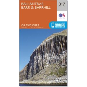
Ordnance Survey Explorer 317 Map of Ballantrae, Barr & Barrhill
£9.99 Add to basket -
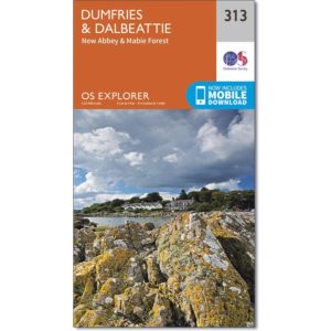
Ordnance Survey Explorer Map 313 Dumfries and Dalbeattie
£9.99 Add to basket
Reviews
There are no reviews yet.