


Ordnance Survey Landranger Map 5 Orkney – Northern Isles
£9.99
Sale Ends in
2 in stock
Description
Ordnance Survey Landranger Map 5 Orkney – Northern Isles
OS Landranger map 5 is an all-purpose map packed full of information to help you really get to know an Orkney and the Northern Isles. This map covers an area of 40 km by 40 km (25 miles by 25 miles). AS well as part of the Orkney mainland, it also includes Stronsay, Egilsay, Eday, Calf of Eday, Westray, Noup Head, North Ronaldsay, Rousay and Auskerry.
With this map you will receive a code for use on your iOS or Android smartphone or tablet
Additional information
| gtin | 9780319261033 |
|---|---|
| Brand |
You must be logged in to post a review.
Related products
-
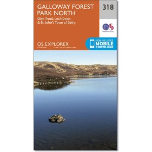
Ordnance Survey Explorer Map 318 – Galloway Forest Park North
£9.99 Add to basket -
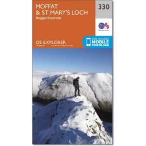
Ordnance Survey Explorer Map 330 Moffat & St Mary’s Loch
£9.99 Add to basket -

Ordnance Survey Explorer Map 326 Ayr & Troon
£9.99 Add to basket -
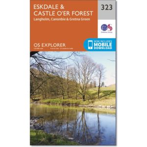
Ordnance Survey Explorer Map 323 Eskdale and Castle O’er Forest
£9.99 Add to basket
Reviews
There are no reviews yet.